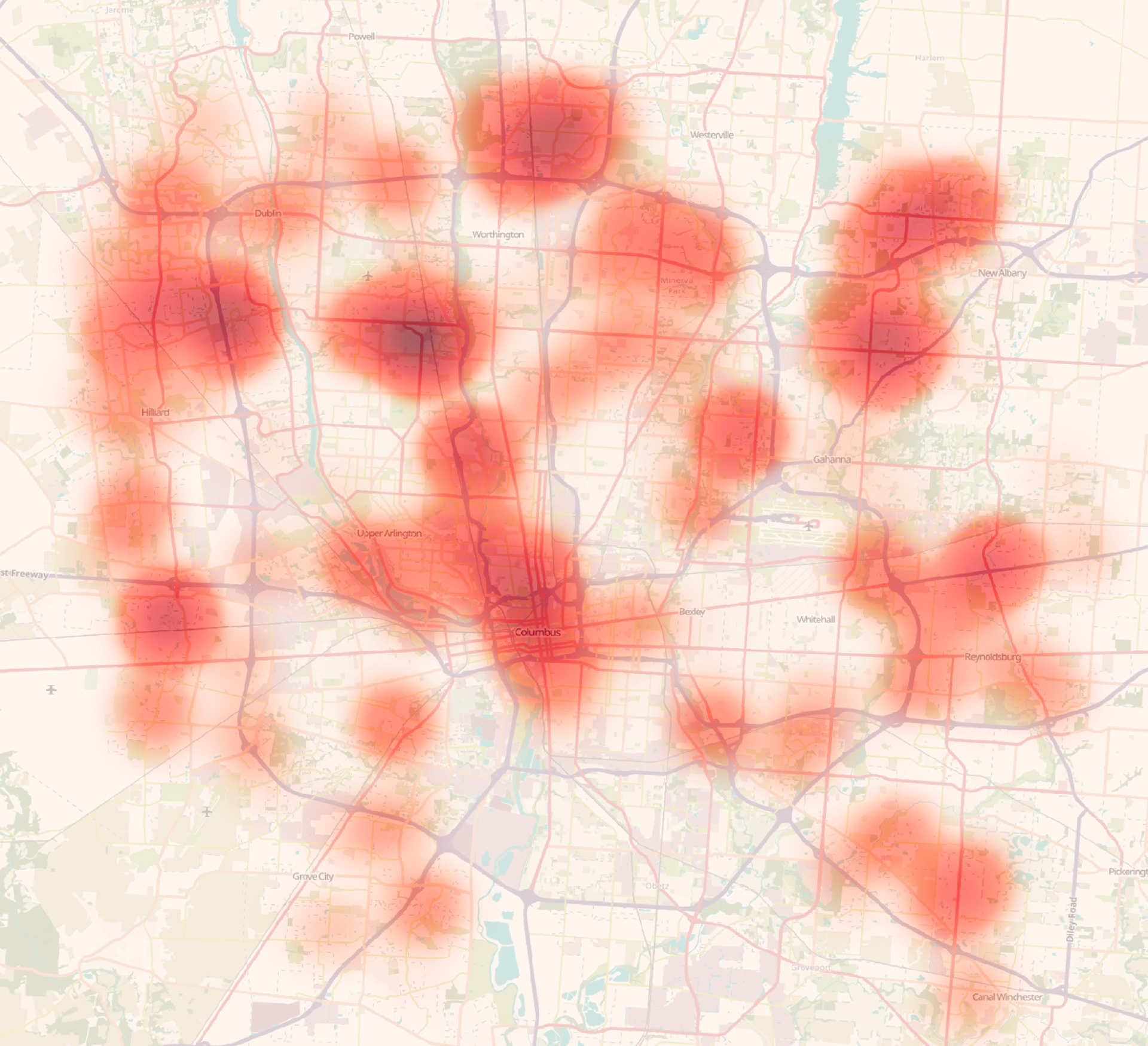
Above: Heat map of parcels coded as condominiums, Franklin County, Ohio.
Created in QGIS using public data from the Franklin County Auditor.
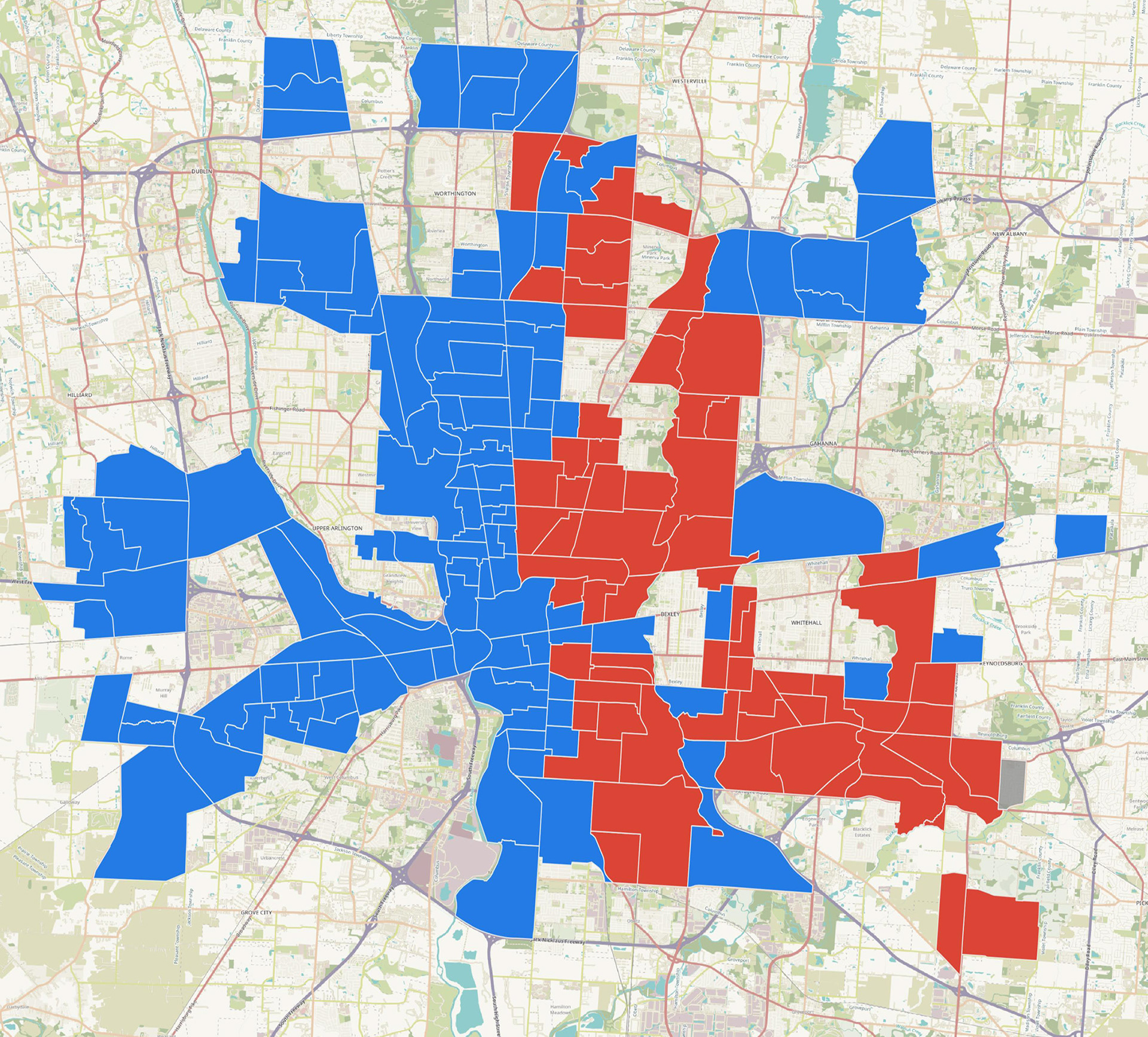
Created in QGIS using public data from the Franklin County Auditor.
Above: This map is a binary representation of the predominant race in each census tract within the city of Columbus corporate boundary. To be included, the census tract must have at least 75% of its land area within the corporate boundary. A map with two categories is inherently problematic, as it lumps very different tracts together. Created in May 2025 using 2023 ACS 5-year estimates.
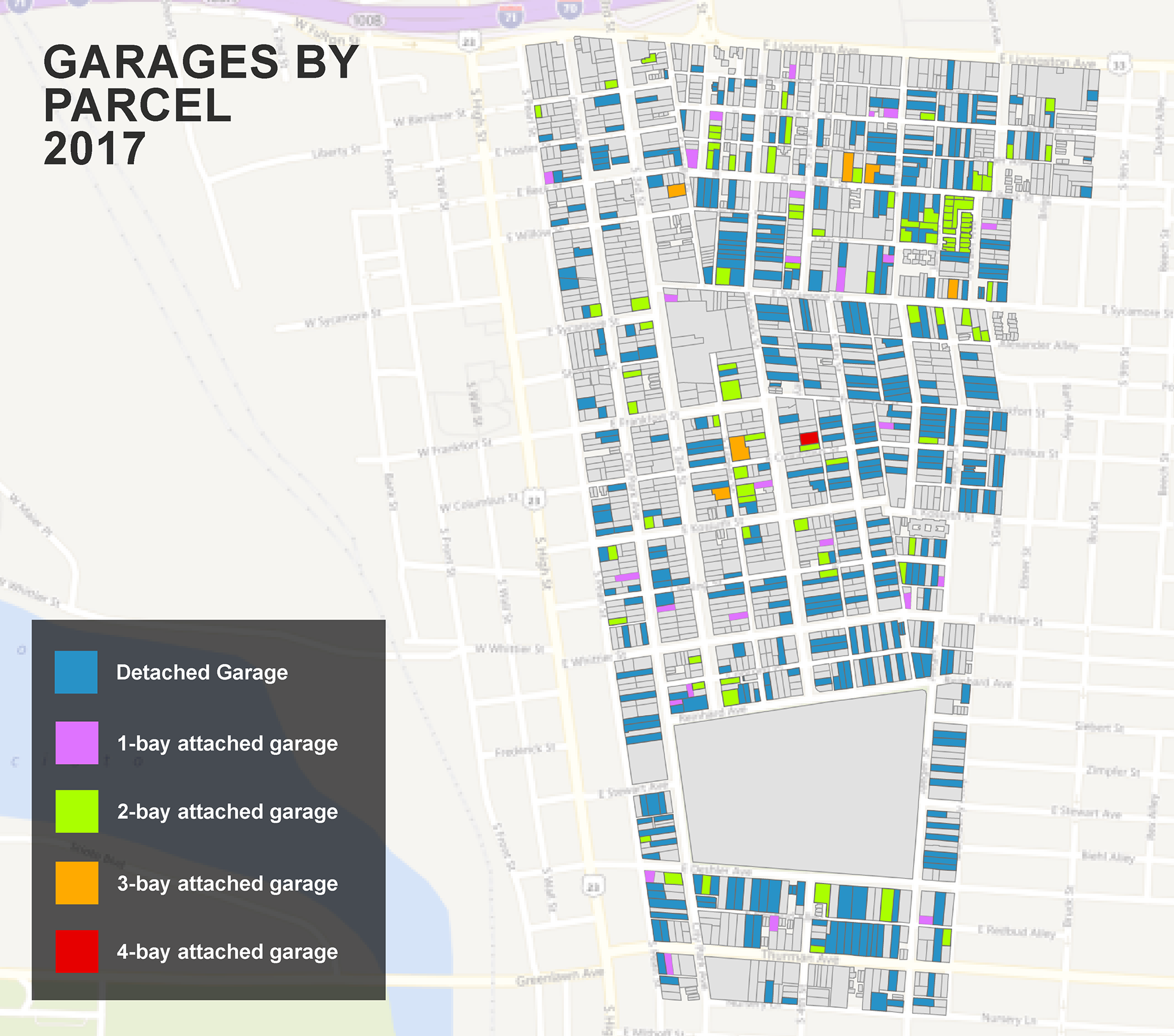
Above: Map of parcels in German Village Historic District (Columbus, Ohio) coded by garage type.
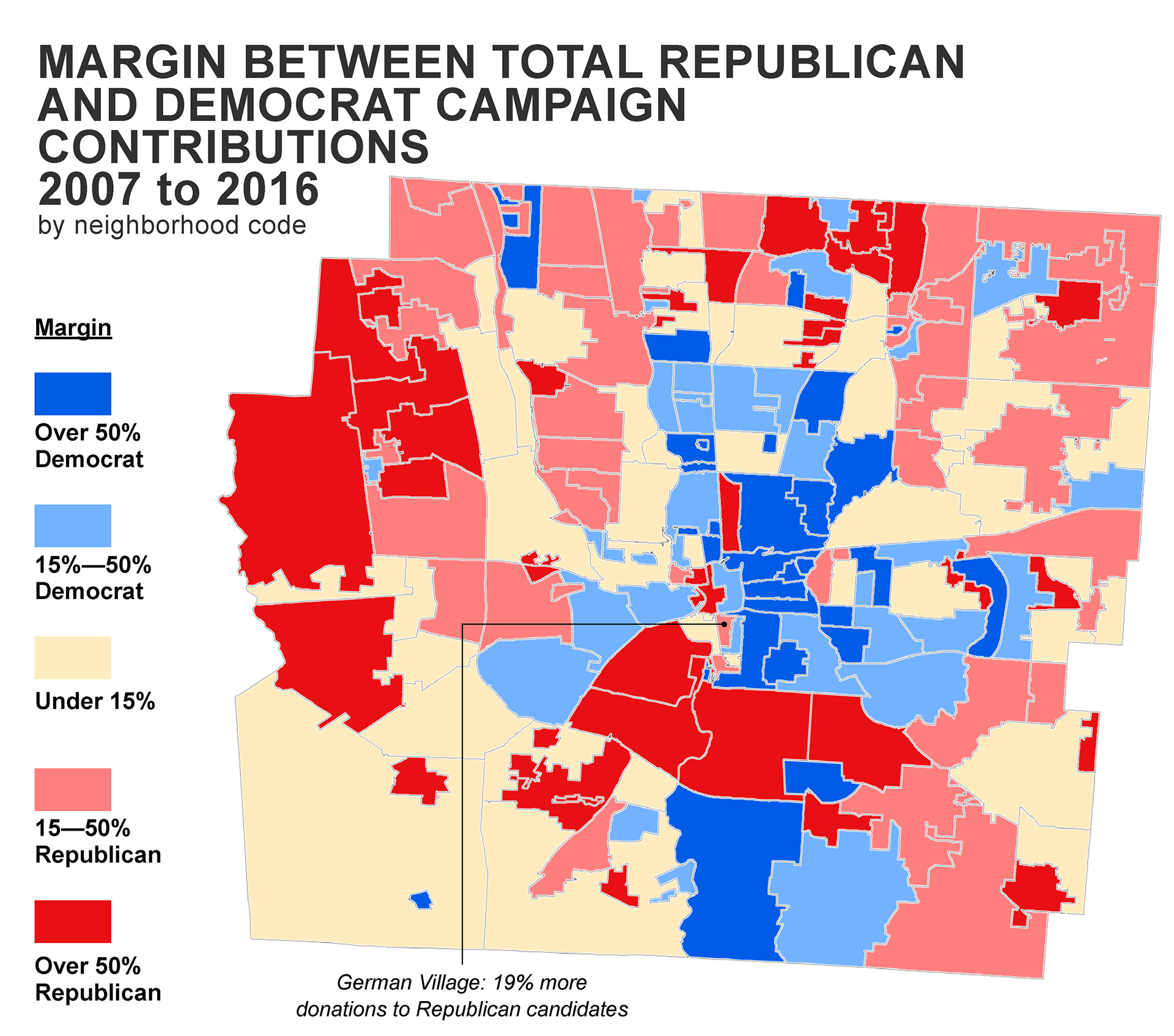
Below: Map of voting margin by neighborhood code (a geographic designation used by the Franklin County Auditor)
Below: Map of voting margin by neighborhood code (a geographic designation used by the Franklin County Auditor)
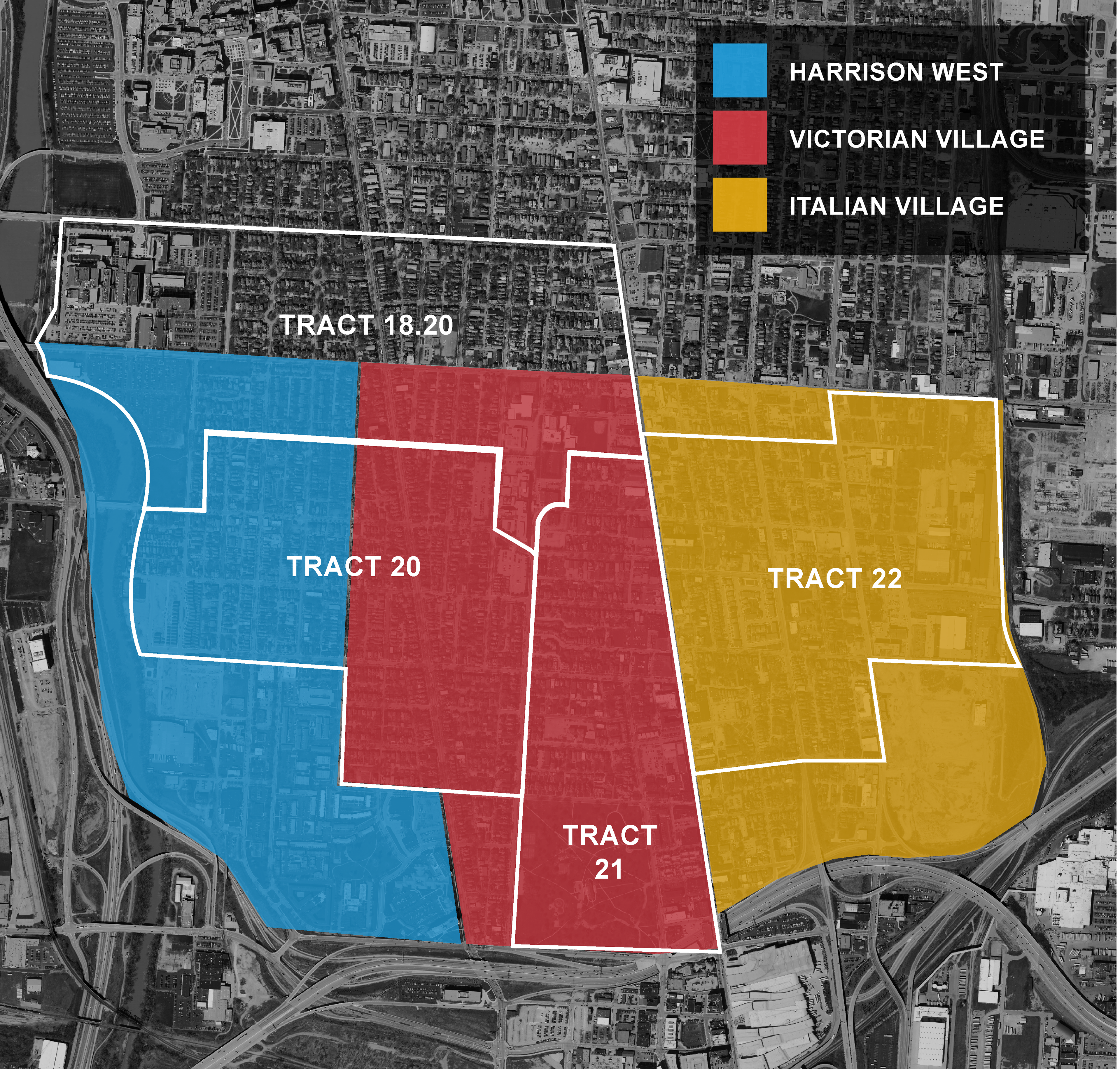
Below: Map demonstrating the incongruity among neighborhood boundaries and census tracts on the Near North Side of Columbus, Ohio.
Below: Map of average price per square foot.
