The Linden Community Plan
An 18-month effort with intensive public engagement and diverse stakeholder participation. The document contains extensive background data on the existing conditions in the study area, with a variety of analysis performed on data. Maps were produced using QGIS and ArcMap.
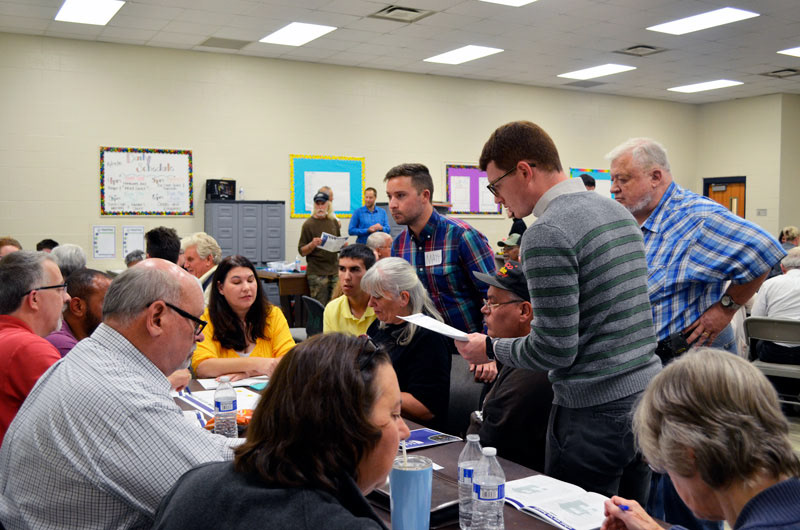

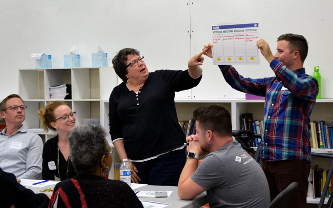
The Hilltop Community Plan
An 18-month effort with intensive public engagement and diverse stakeholder participation. The document contains extensive background data on the existing conditions in the study area, with a variety of analysis performed on data. Maps were produced using QGIS and ArcMap.
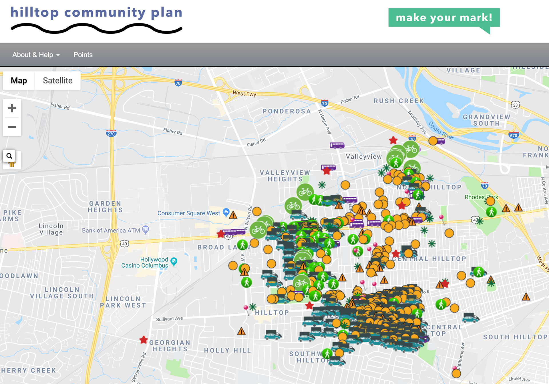
The Wikimap below was created to allow Hilltop residents to leave positive and negative feedback about specific locations in the neighborhood, without creating an account or login information.
Franklinton Target Area Plan
A report containing recommendations produced as part of an affordable housing
funding opportunity through the Ohio Housing Finance Agency.
funding opportunity through the Ohio Housing Finance Agency.